

Ula
A small hill town and district just south of Muğla, named after an ancient Carian town.


The Turkish name
Ula
At a glance




- Province
- Muğla
- Area
- 479 km²
- District since
- 1954
- Population
- 27,392 (2024)
Read more
This page was written from these sources.
- Ula, Muğla ↗Wikipedia · Checked 2026-09-23
- Kyllandos ↗Vikipedi · Checked 2026-09-23
The story
Ula is one of Muğla's 13 districts and the closest to the provincial centre, about 15 km away, just off the road to Marmaris. The town sits at around 606 metres, ringed by mountains, and forests cover about 65 percent of the district. It takes its name from Ula, or Oula, an ancient Carian town thought to have stood nearby.
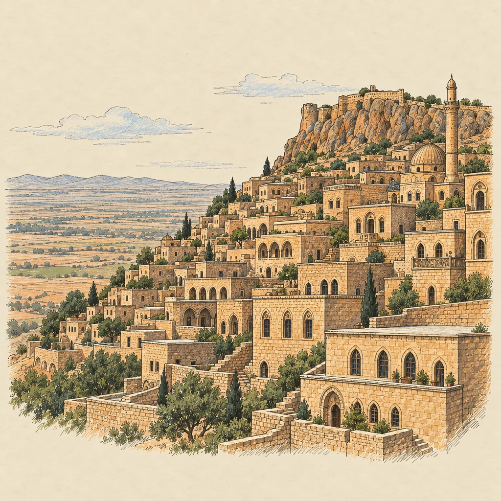
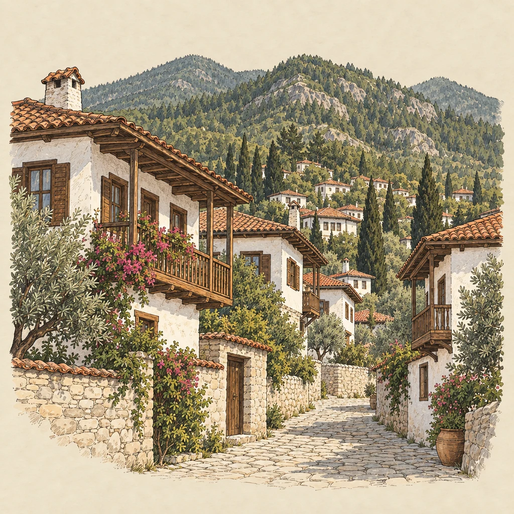
Evliya Çelebi wrote that the name became Ula after the Menteşe bey Ulama Bey took the area. The town set up its municipality in 1895 and became a district in 1954. It is known for its old Turkish-style houses.
Three kilometres south-west, on a hill called Okkataş, are the ruins of Kyllandos, a Carian city with rock-cut tombs. The district reaches down to the Gökova gulf and includes Akyaka.